A Map of Ancient Rome
Need to know where the Roman Empire was?
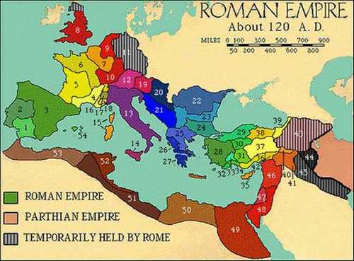
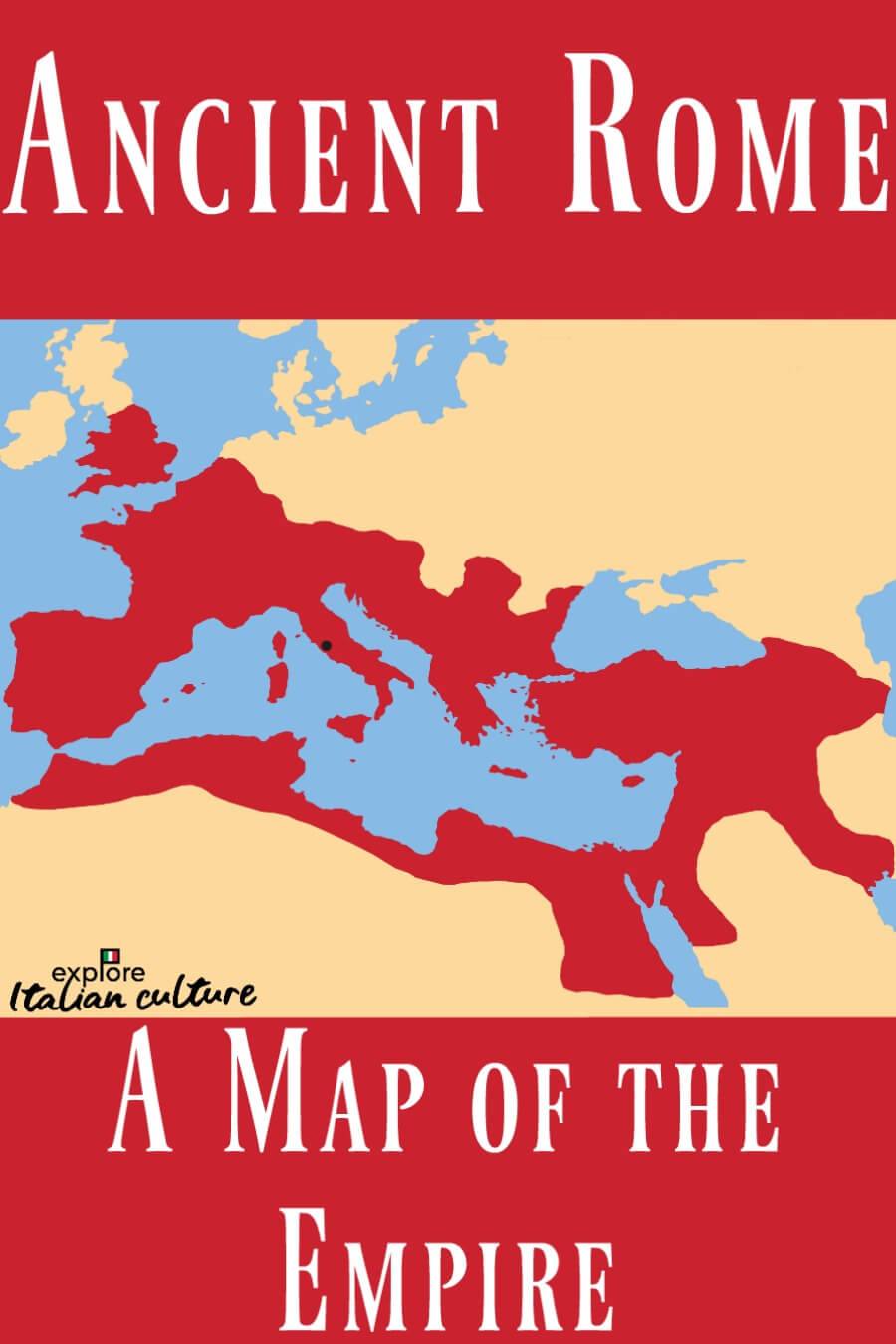
This 'at-a-glance' map of ancient Rome shows you exactly how it looked in the second Century A.D.
The Romans were what you might call 'ambitious'!
Anti-Theft Travel Sling Bag for Men & Women
This compact travel bag is designed with secure zipper locks to keep your essentials safe. It holds more than you think and stays secure and comfortable throughout commutes or travel days.
As Amazon associates we earn a small commission on any sales.
Map of Ancient Rome
By the time this map was drawn up in the 2nd Century A.D., the territory extended right across what we now know as Europe, North Africa and the Middle East.
How far was that, exactly?
Over two million square miles.
That's big!
The United States of America covers about 3.5 million square miles - but remember, ancient Romans had no telecommunications, no internet, no aircraft.
At its largest, the Empire was home to over 20% of the entire population of the world. It was a massive area to command, made up of many different peoples and cultures.
Its territories stretched from what we now know as Scotland in the north to Egypt in the south, and from Portugal in the west to Iraq (Mesopotamia) in the east.
Its northern border was bounded by Hadrian's Wall, built by the Emperor Hadrian in around 122 A.D., "to separate Rome from the Barbarians". Parts of Hadrian's Wall survive to this day: it's now designated a World Heritage Site.
The ancient Roman Empire finally collapsed in around 476 A.D. At its largest, it was possible to travel from the north of England to the Persian Gulf in the south without ever leaving Roman territory.
This map shows the territories of the Roman Empire at the height of its powers, in the 2nd Century A.D.


